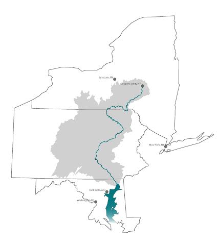
The Susquehanna River Watershed in a nutshell:
- Begins in Cooperstown, NY and flows 750 km (464 miles) into the Chesapeake Bay (3rd largest estuary in the world)
- Drains 71,000 km2 (27,400 mi2)
- Contains 4.1 million people from three states
- Is one of the most flood prone regions in the nation
- About 37 percent of the streams are classified as high quality waters
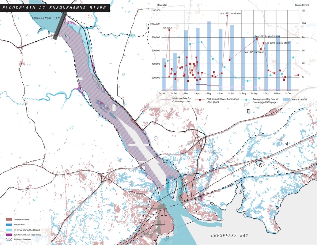
The map below shows the existing regulatory floodway (hatched area), wetlands (darker blue), and developed areas (light red). The lighter blue areas have a 1% chance of flooding annually. The purple areas have a 0.2% chance of flooding annually. Flooding is part of a river's natural flow regime. Dams restrict water flows and therefore reduce the natural tendency of river water levels to fluctuate with seasonal floods as well as larger storm events. It is unclear how much capacity the Conowingo Dam has to store floodwaters today, given that its reservoir is nearly full of sediment.